- News
- City News
- bengaluru News
- Bengaluru 210km IRR corridor revived to improve city outskirts connectivity
Bengaluru 210km IRR corridor revived to improve city outskirts connectivity
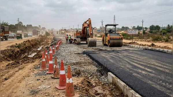
Revival Of 210km IRR project
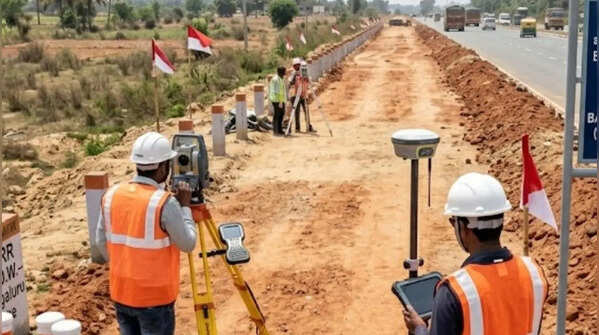
Govt has revived the nearly two-decade-old Intermediate Ring Road project, positioning it as a cost-efficient push to spur growth around Bengaluru’s satellite towns while bypassing earlier land acquisition hurdles. The 210km corridor was first proposed in 2007 but remained stalled due to litigation and acquisition challenges. (AI image)
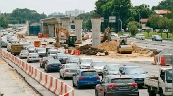
BMRDA to execute key corridor
The Bengaluru Metropolitan Regional Development Authority (BMRDA) will execute the IRR project, which aims to form a critical mobility ring connecting emerging growth centres across the city’s outskirts, strengthening linkages between satellite towns and Bengaluru’s expanding urban spread. (AI image)
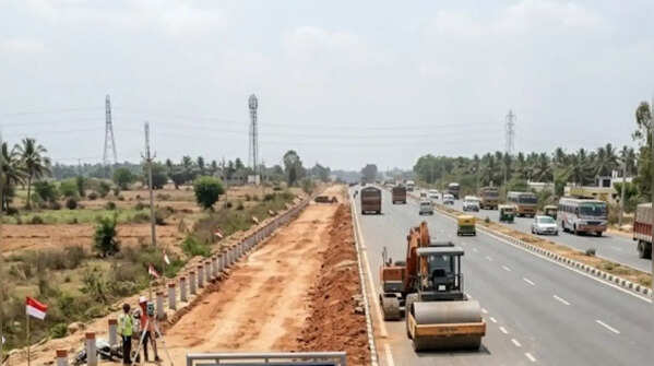
12 satellite towns to be connected
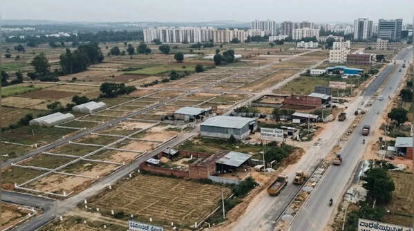
The revived plan focuses on reconnecting 12 satellite towns, including Thattekere, Harohalli, Bidadi, Tavarekere, Nelamangala, Devanahalli, Hoskote, Dommasandra and Anekal. The corridor is expected to improve connectivity between these growth hubs and support regional mobility. (AI image)

Alignment changes after legal hurdles
Earlier alignment issues and litigation led the Karnataka High Court in Aug 2022 to direct a change in plan, following which BMRDA revised it in March 2023. The revised version later faced issues due to inconsistent road widths and lack of detailed surveys. (AI image)
Return to 2007 alignment plan
After multiple revisions, officials decided to revert to the original 2007 alignment with limited modifications. The earlier alignment had already been included in master plans of several planning authorities, reducing potential conflicts and easing integration with regional road networks. (AI image)
Land acquisition strategy revised
The updated plan aims to minimise disruption to existing layouts, with developers expected to transfer land free of cost through relinquishment deeds during approval. This approach is expected to reduce the government’s land acquisition burden significantly. (AI image)
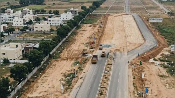
Part of larger Bengaluru road network
The IRR will connect stretches between STRR and PRR and support development of 12 satellite townships. It will complement major projects like the 228km STRR, Bengaluru Business Corridor, and 11 infrastructure corridors spanning 75km across the region. (AI image)
Featured In City

